Maintenance Awareness Platform
City of Toronto, Ontario
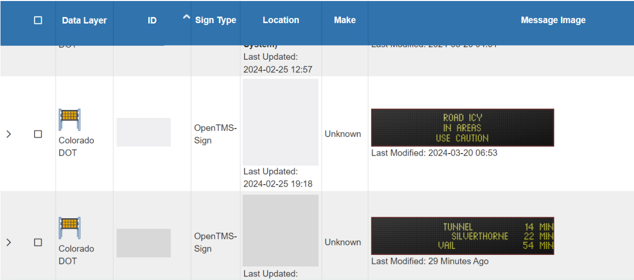
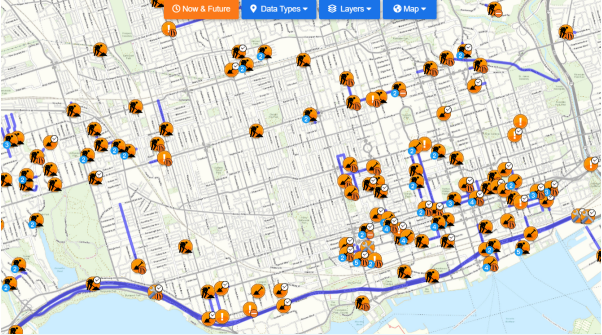
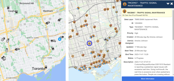
Toronto's Maintenance Awareness Platform (MAP), developed by Black & McDonald and Transnomis, won second place in the Engineering Project of the Year. It's a web app for managing traffic device maintenance, integrating with the ITS Central system. MAP records issues, tracks contractor progress, and notifies operators automatically of device errors. It supports various traffic devices and includes innovative sub-projects like semi-automated sign messaging, radar integration, and remote traffic center operation for emergencies. LEARN MORE